
Official chart data, drawn the way the standard says.
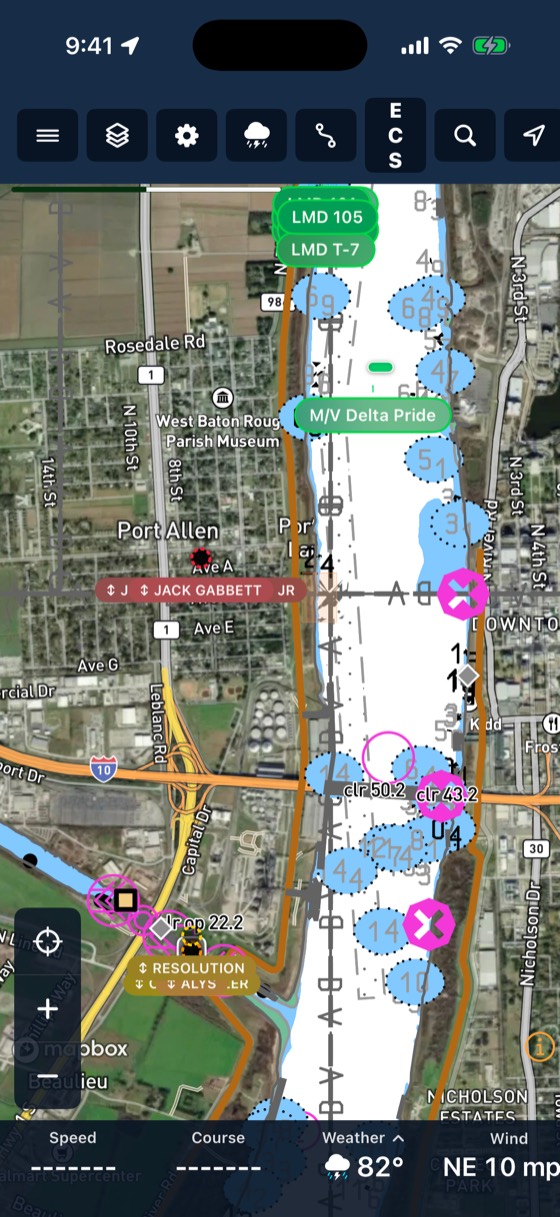
Inland ENCs from the Corps of Engineers and NOAA ENCs for the coast, rendered the way you are used to seeing them. Download the regions you run and they work offline. Turn on the 3D river bottom to see the channel.
Three steps
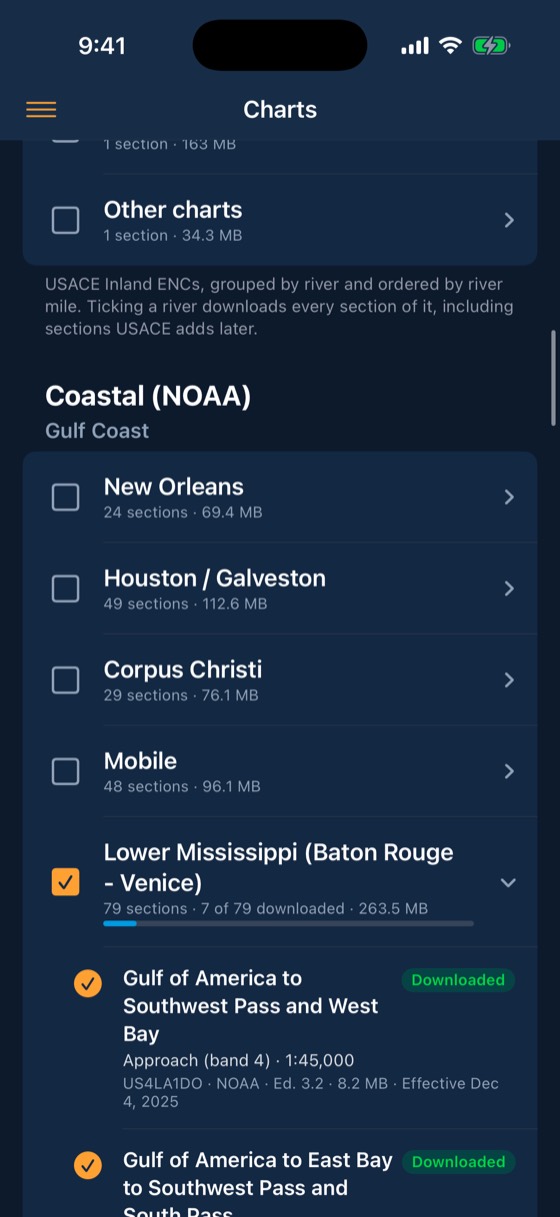
Pick your regions
Choose the river regions you run in Menu, Charts. Updates download in the background.
Run offline
Charts, river bottom and bridges are on the device. No signal needed.
Look under the water
3D river bottom and bridge models from published survey data.
Included with every account
- USACE Inland ENC and NOAA ENC
- Inland ECDIS presentation library
- Offline by region, auto-updated
- 3D river bottom and bridges
- ECS map mode on iPad
Captains carry the chart on the iPad they already use.
Works with
Bridge clearance
BargeIQ shows the vertical clearance at every bridge, kept current with live river levels, and warns you when your tow's air draft will not fit.
Learn more →Trip planner
Plan routes across the inland rivers and the Gulf Intracoastal.
Learn more →River conditions
Live USGS gauges, NOAA river-current forecasts for 34,912 river reaches, USACE lock queues and stoppages, and weather radar, all on the map your crew already uses.
Learn more →See your fleet the way it should be seen.
Book a 20-minute demo with someone who has worked the river.