
Plan the trip around the locks, not into them.
Plan routes across the inland rivers and the Gulf Intracoastal. See expected lock waits, AIS traffic, bridge clearances and the river bottom along the way, before the tow leaves the dock.
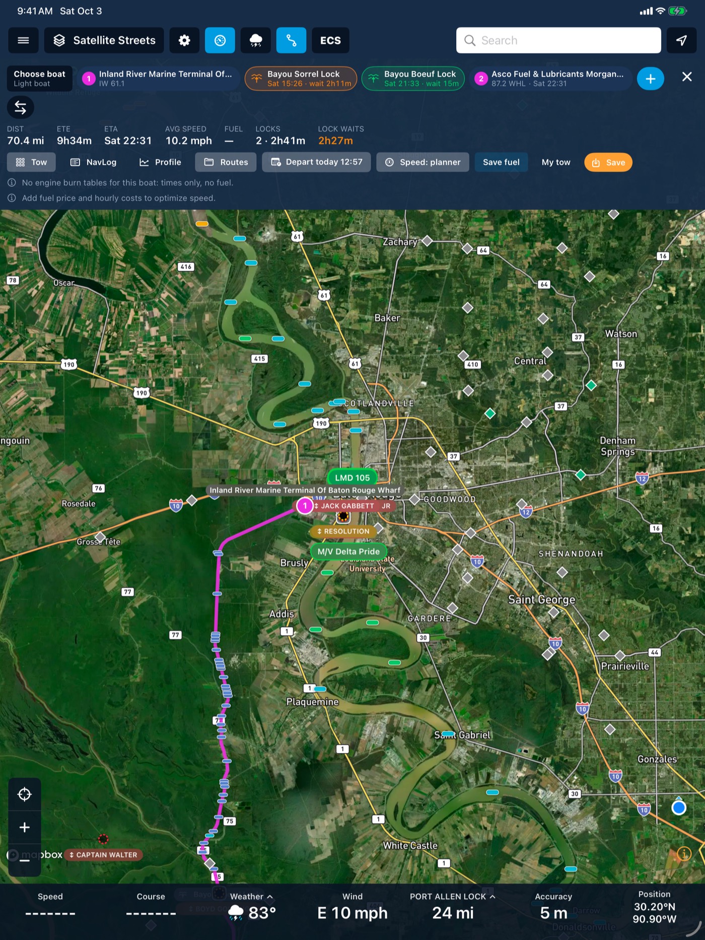
Watch a trip down the Ohio
| Tow | 15 barges · 9 ft draft |
|---|---|
| Now at | Ohio mile 0 |
| Next lock | Emsworth |
| Distance | 6 mi ahead |
| Expected wait | 1 h 10 m |
| AIS traffic ahead | 3 tows within 25 mi |
| Locks left | 19 of 19 |
In the app, waits and traffic come from live lock queues and AIS.
Three steps
Build the tow
Set the boat, barges, draft, air draft and cruise speed.
Pick the stops
Search by place or river mile. Reverse the route with one tap.
Read the plan
ETA, lock waits (expected and typical), bridge clearances and depth along the route.
Included with every account
- Whole inland network plus GIWW and Lower Mississippi
- Lock-wait forecast from history and current queues
- Routes around closed locks
- Bridge clearance and river bottom along the route
- Saved company routes
Knowing the wait before you get there makes for better calls on every lock in the trip.
Works with
River conditions
Live USGS gauges, NOAA river-current forecasts for 34,912 river reaches, USACE lock queues and stoppages, and weather radar, all on the map your crew already uses.
Learn more →Bridge clearance
BargeIQ shows the vertical clearance at every bridge, kept current with live river levels, and warns you when your tow's air draft will not fit.
Learn more →Charts
Inland ENCs from the Corps of Engineers and NOAA ENCs for the coast, rendered the way you are used to seeing them.
Learn more →See your fleet the way it should be seen.
Book a 20-minute demo with someone who has worked the river.