
Platform
Hardware on the barge. Cloud in the middle. The app in your hand.
Every reading goes from the tracker to our cloud, gets matched to the river, is checked against your zones and alert rules, and lands on the right screens in seconds.
The path of one reading
From the deck to the phone
- 01 · On the barge
Tracker
- GPS position and heading
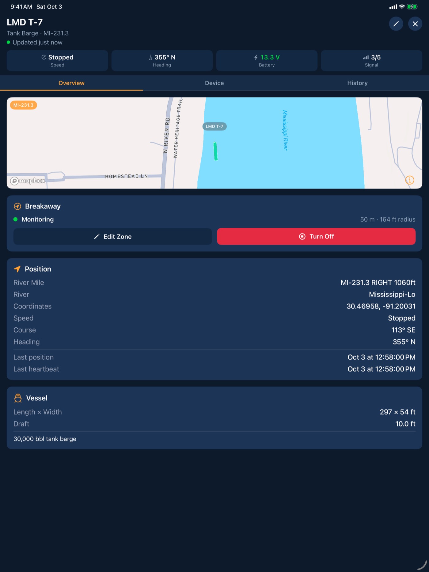
- Motion, impact and battery
- AIS heard nearby
- 02 · On the way
Cellular or base station
- LTE-M / NB-IoT cellular
- Wi-Fi HaLow to StationIQ (FleetIQ Pro)
- Stored on board when out of range
- 03 · In the cloud
BargeIQ cloud
- Matched to river and mile
- Checked against your zones
- River, lock and weather data added
- 04 · Your rules
Alerts
- Who hears each alert
- How loud it rings
- Which phones and iPads
- 05 · In your hand
App
- iPhone, iPad and the web
- Map, alerts and history
- Same picture on the boat and on shore
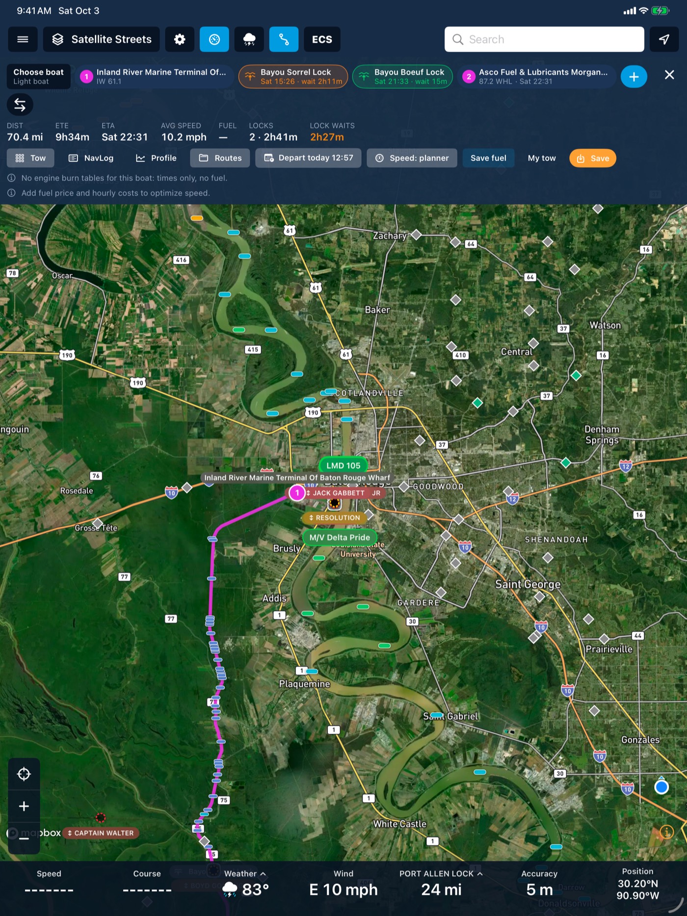
Data sources
Public data and our own network, on one map
USGS gauges
Stage, flow and flood categories from the USGS Water Data API.
NOAA National Water Model
Current velocity and streamflow for 34,912 reaches, 10-day forecast.
USACE locks
Queues, waits, stoppages and lock water levels.
AIS
Received and relayed by every BargeIQ tracker on the water.
Inland and NOAA ENC
Official charts, drawn to the inland ECDIS presentation rules.
Radar
Weather radar on the fleet map.
Your data
You own it. We never sell it.
- Export any time as CSV
- GraphQL API to pull fleet data into your own systems
- One year of history included, up to seven with extended retention
- Legal hold available
- Encrypted in transit and at rest
See your fleet the way it should be seen.
Book a 20-minute demo with someone who has worked the river.