
Solutions
Terminals and docks
See inbound tows coming, log every arrival and departure, and plan crews around real ETAs.
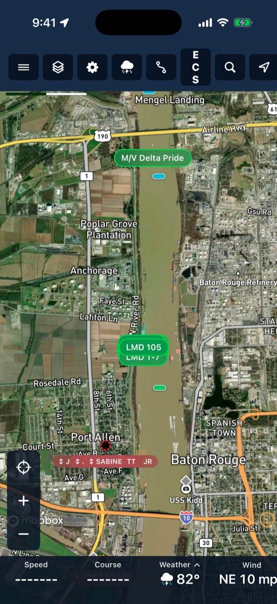
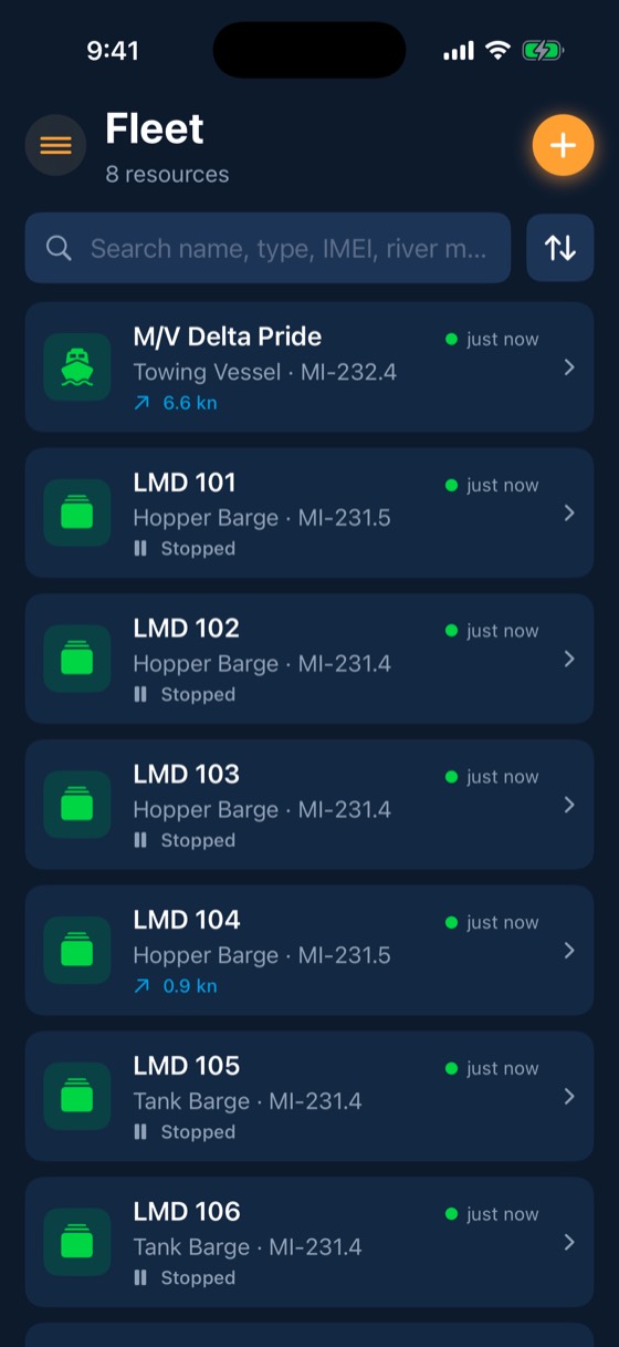
What you use
The parts of BargeIQ that matter most here
Watched vessels
Every BargeIQ tracker on the water listens for AIS and relays what it hears, so you see the tows around your fleet, and you can get a push when a particular boat reaches your zone.
Learn more →Dock geofences
Outline fleeting areas, docks and terminals on a satellite map or import them from a spreadsheet.
Learn more →River conditions
Live USGS gauges, NOAA river-current forecasts for 34,912 river reaches, USACE lock queues and stoppages, and weather radar, all on the map your crew already uses.
Learn more → Illustrative example, not a customer
grain terminal on the Illinois River
Inbound towsWatched by name
Arrival logAutomatic
Crew call-outsPlanned from ETA
See your fleet the way it should be seen.
Book a 20-minute demo with someone who has worked the river.